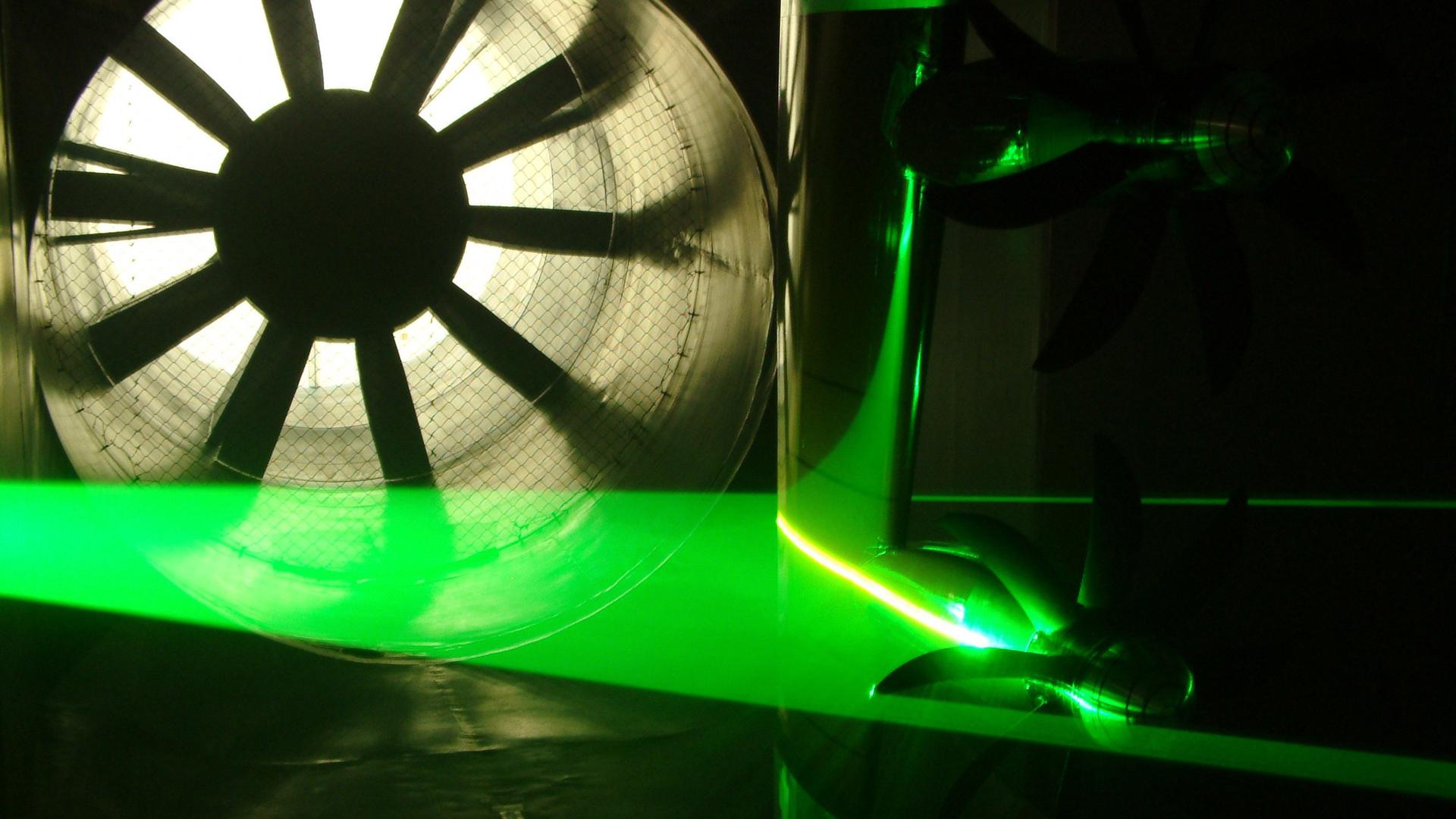
RINGO has produced an interactive map in order to represent the landscape of aviation research infrastructures available in Europe. The map classifies research infrastructures in 9 categories: environmental research infrastructures, flight testbeds, materials, propulsion benches, simulators, structures, supercomputers, wind-tunnels, and others.
The map relies on publicly available data. RINGO will consolidate it based on inputs received from the users; therefore, your help is fundamental in order to complete it. Should you notice errors in the information reported or research infrastructures currently not included, please feel free to follow the links included in the map to provide us with your input. We will be happy to take into account your contribution and to update the map accordingly if possible.
Click to explore the landscape of European aviation research infrastructures.